Status: 01/15/2023 3:39 p.m
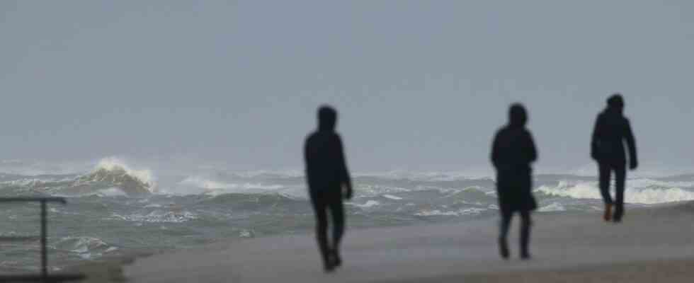
A storm surge awaits people on the coast and on the islands today. The Federal Maritime and Hydrographic Agency (BSH) expects the flood to rise a meter above the average.
The storm surge danger is expected to last until 10 p.m. In the Weser area, too, the water is likely to rise around one meter higher than the average high water level, on the Elbe one to 1.5 meters, the BSH announced on Sunday afternoon. An official severe weather warning from the German Weather Service (DWD) is also in effect on the North Sea coast until the early evening. The gusts can reach wind speeds of 115 kilometers per hour there.
Further information
Storm: ferries remain in the port, petrol station on Sylt damaged
Because of the storm, the ferry connections between Neuharlingersiel and Spiekeroog were brought forward, the Frisia Island Express to Norderney and Juist is canceled today – the island ferries continue to commute. On the Baltic Sea coast, where there is a risk of severe weather, the Scandlines shipping company has canceled trips between Rostock and Denmark for the afternoon. On the island of Sylt, the storm damaged the roof of a gas station near the shuttle terminal on Sunday morning.
In the Harz mountains, cable cars and lifts are now idle
According to the DWD, heavy gusts of wind with speeds of up to 100 kilometers per hour are also possible inland near showers and in exposed locations. In the Harz Mountains, the meteorologists are expecting rain of between 30 and 40 liters per square meter in some areas. Cable cars and lifts remain closed today, among others, on the Wurmberg in Braunlage, on the Matthias-Schmidt-Berg in St. Andreasberg and on the Bocksberg in Hahnenklee.
Further information

Storms inland: Avoid forests
The Lower Saxony State Forests warn against entering forest areas, especially in the higher elevations of the Harz Mountains and Solling. The dry summers of recent years have caused trees and parts of trees to die off, explained President Klaus Merker. The wind threatened to break them off. Deutsche Bahn expects problems in train traffic: It advises customers to inform themselves before their departure, if and when the trains run.
Fire brigade: Take special care on the road
The district fire brigade association Aurich warns to secure garden furniture and garbage cans and to keep windows and doors closed. It is said that scaffolding and advertising signs should also be checked to ensure that they are secure. There is also a danger from possible falling roof tiles. Anyone who is on the road should be particularly vigilant: fallen trees and falling branches could also be dangerous for cyclists and pedestrians.
Next week it will be colder in the north
It’s supposed to get colder by Monday. In Mecklenburg-Western Pomerania, the experts expect temperatures between 4 and 6 degrees, in Schleswig-Holstein and Hamburg around 5 degrees. In the Upper Harz, the DWD predicts temperatures around zero degrees – so snow could fall. Winter sports may even be possible in the next few weeks.
Further information

