The new portal is a “real-time platform” and requires live data. For example, the snow depth in the valley, which was zero centimeters everywhere from Bad Wiessee to Waakirchen on Wednesday. In six out of eleven locations the information comes from the same day, in the five others it is already a few days old. What is more important anyway is the snow depth in the ski areas, and the website live.tegernsee-schliersee.de brings together up-to-date information, some of which could even have attracted skiers from outside the Miesbach district. The fact that they didn’t do that is shown by the webcams collected from the region and the current “route information” on the interactive map: no traffic jams right now, not even directly at Tegernsee.
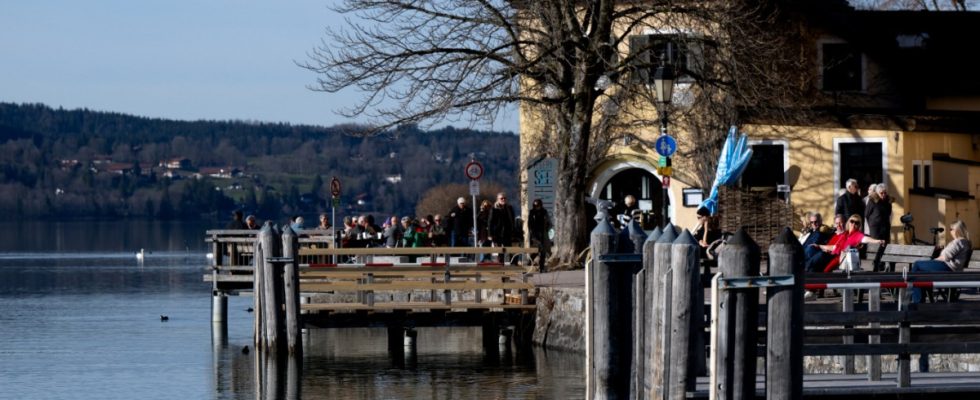
That is by no means always the case. Around eight million day visitors visit the region every year, and on peak days there are up to 70,000 at once. Especially on weekends with good weather for excursions, tourists and day visitors alike have to be prepared for slow-moving or stationary traffic. The hiking car parks are then often just as crowded as the regional trains, and there is also a wait in the pub. During the corona pandemic, the region and some others such as Walchensee and Garmisch-Partenkirchen with the Eibsee were literally overwhelmed. The district’s own Miesbach company “Regional Development Oberland” now wants to counteract this online. It has declared its tourist “Alpine region Tegernsee Schliersee” a “Smart Tourism Region” and activated the associated web portal this week.
For a while now, overcrowded regions like these have had just as high hopes for such “digital visitor guidance” as those regions that would like to welcome the visitors they want to redirect. The Free State is supporting the digital redistribution attempt with grants. Almost half a million euros in funding goes not only into programming the online offering, but also into collecting the necessary data.
Because cable cars and chairlifts already have suitable mechanisms for counting their passengers and current weather data and forecasts come from existing sources, the number of parked cars in places with barriers and defined parking spaces can be recorded much more precisely than on open gravel areas with parking ticket machines. In the past two years, sensors have been installed at a total of 40 locations in the “smart tourism region” that not only detect parked cars, but also register the current number of vehicles on the most important access roads to the region.
Computers are supposed to use empirical values, electronic event calendars and weather forecasts to generate forecasts for the tourist capacity of the region in the near future in order to make the trip attractive to day-trippers or to advise them against it. According to local tourism experts, this would have been better on the 90 days each year when they considered the Miesbach district to be overloaded. This number is also derived from electronic information, namely anonymized location data from cell phones. The tourism experts hope that all of this will improve not only for the day trippers, but also for the locals, who are often day trippers themselves or find themselves stuck in traffic jams for other reasons. The reputation of tourism as a whole has suffered noticeably recently.