As of: 01/29/2022 6:23 p.m
The storm is currently sweeping over Schleswig-Holstein. The rescue control centers report the first operations. Above all, the fire brigades are currently removing fallen trees and loose parts of the roof.
In Kiel and the surrounding area, the helpers have had to go out about 60 times so far, and in the area of the west control center even more than 100 times. A kitesurfer wanted to take advantage of the wind in the Kappeln area. But then he drove off. Luckily, a ship from the German Society for the Rescue of Shipwrecked Persons (DGzRS) was nearby and was able to save him unharmed.
Fallen trees impede train traffic
According to Deutsche Bahn, there were delays or cancellations due to fallen trees on the route between Itzehoe and Hamburg and between Heide and Itzehoe. There were also obstructions on other routes, such as between Kiel and Eckernförde, Lübeck and Kiel and Hamburg and Kiel.
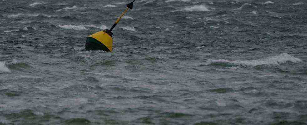
Ferry connections are cancelled
On Saturday, the first strong gusts of wind hit the beach at St. Peter Ording.
The ferry connections of the Hallig line of the Wyker Dampfschiffs-Reederei (WDR) are canceled due to the storm. According to the shipping company, connections from Föhr, Amrum and Dagebüll are also affected. For the trips on the Hallig line to and from Hooge, there are replacement connections on Sunday at 2 p.m. from Schlüttsiel and at 3.15 p.m. from Langeneß. According to the WDR, there could be further timetable changes depending on the actual weather conditions.
Gusts with speeds of up to 110 kilometers per hour
The severe weather warning from the German Weather Service (DWD) applies to the entire north German coast. The peak of the storm is therefore expected on Sunday night. Then hurricane-like gusts with speeds of up to 110 kilometers per hour can occur in Schleswig-Holstein, Mecklenburg-Western Pomerania and Lower Saxony. Especially on the Baltic Sea coast, there could also be individual hurricane gusts from the southwest, later from the west, with speeds of up to 120 kilometers per hour. This corresponds to wind force 12.
BSH warns of storm surge
According to the Federal Maritime and Hydrographic Agency (BSH), there may be a storm surge on the Schleswig-Holstein North Sea coast and on the Elbe on Sunday night. This could be most noticeable in Hamburg, where a level of around 2.2 meters above normal high water is expected. In Dagebüll (Northern Friesland district), the storm surge mark of 1.5 meters above normal high water could be reached.
The wind is supposed to weaken on Sunday
According to the DWD, the wind will decrease over the course of the day on Sunday, and the day will then be mostly quite friendly – with maximum temperatures between four and eight degrees. During the night of Monday and Monday, a low should cause rain and snow above 200 to 400 meters.

AUDIO: Storm warning: many ferries do not run (1 min)
Further information


