“Before, agents spent a lot of time on repetitive and low-quality tasks. Today they have this analysis and calculation tool which makes it easier to understand what is happening, and to make decisions. » Visualize urban heat islands, anticipate the consequences of floods, reduce energy consumption… In Angers, a “smart territory” control center processes data from some 40,000 sensors scattered across the territory to accelerate the ecological transition.
Since 2020, Angers Loire Métropole (ALM) has been involved in a so-called “smart” territory project, with a budget of 178 million euros over twelve years to respond to the major challenges of the moment (control of energy consumption). energy and water, renaturation, urban congestion), all thanks to digital tools.
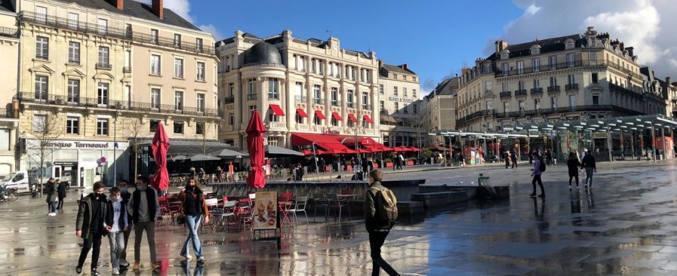
In a building in the city center, the head of the control center Guillaume Cesbron faces three computer screens and three giant wall screens. This is where the thousands of data collected in the 29 municipalities of the urban community over approximately 667 km2 are transmitted in real time. This data is then analyzed and transcribed into graphs and maps. It is up to thirteen city agents, present 24 hours a day, to identify anomalies and raise the alarm.
“The intelligent territory, when it’s done well, it’s not visible”
On the screen, pictograms warn of both the absence of heating in a school and the overflow of wastewater into natural environments. And in the field, gardeners will know exactly when to water a remarkable tree in a state of water stress thanks to sensors placed on its trunk.
“We supported this approach even if citizens must understand the benefits they will be able to derive from it,” comments Silvia Tombini, opposition municipal councilor, who also remains “vigilant” in the face of cyberattacks, Angers having been targeted in 2021.
“We’re not here to make gadgets. The intelligent territory, when it’s done well, it’s not visible,” assures Constance Nebbula, vice-president of the urban community, in charge of the project. “We signed a contract with a group of companies which includes results objectives. If they are not met, this may result in penalties,” she explains.
Among these objectives, Angers Loire Métropole aims to reduce the electricity consumption of public lighting by 66%, the energy consumption of its buildings by 20% and its water consumption by 30%. Several experiments are also carried out. “We install probes on voluntary collection points, such as glass, to measure the filling level and optimize the agent’s tour,” indicates Jérôme Guiho, deputy general director of the urban community.
Boilers, vegetation, floods…
Listening to elected officials, the possible uses of this reservoir of data are legion. “The challenge is to work on the sobriety of public buildings which meet the standards of yesterday or the day before yesterday but which we cannot all renovate immediately”, recalls Jacques-Olivier Martin, deputy for buildings in Angers, taking the example of the 78 boilers in the city’s schools, which can be “controlled remotely”. More generally, the control center aims to adapt the territory to extreme climatic phenomena. Future urban developments are thus scrutinized by the digital data collection tool, the “hypervisor”.
“In an already existing neighborhood, we played on several parameters such as the vegetation, the inclination of the building or the color of the materials, which allowed us to gain 1.5 degrees during periods of high heat,” explains Guillaume Cesbron, who sees the system as a real territorial planning tool.
A flood simulator also made it possible to identify buildings at risk, which led the city to raise the electrical cabinets which supplied an entire neighborhood and were at risk of flooding. “We are not in the whole machine but in a decision support tool to better coordinate public action and adapt to climate change. The human remains at the heart of the system,” Mr. Cesbron wishes to reassure.