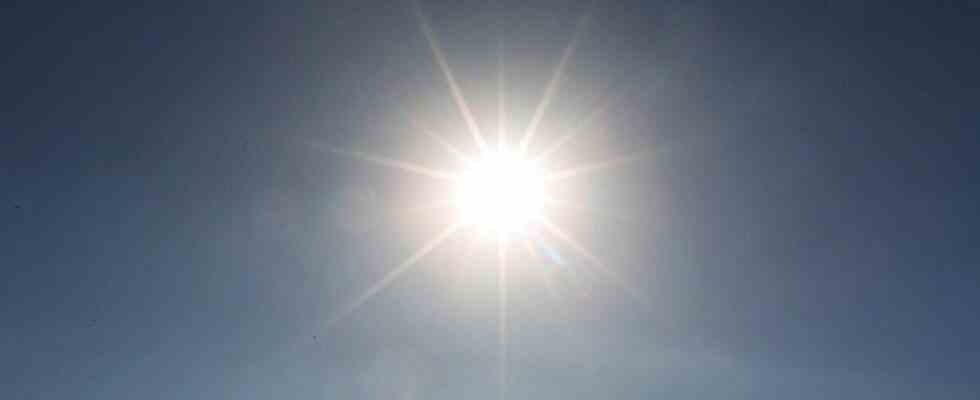
The records will continue to fall. The early heat wave that has been suffocating France since Wednesday will intensify and spread north and east in the coming hours. Twelve departments were already placed on red alert by Meteo France. Two others – Hautes-Pyrénées and Pyrénées-Atlantiques – will join them from Saturday noon.
At the same time, the Ile-de-France, Grand-Est and Bourgogne Franche-Comté regions will go into orange vigilance. Maximum temperatures could reach peaks “at 40-42 ° C” on Saturday in part of Aquitaine, Poitou and the Center region, “38 ° C to 40 ° C” in Paris (where the record of 37, 6°C in 1947 is living its last hours), and 38°C on Sunday in Strasbourg. In general, “a large part of the country will exceed 35°C”.
Two “Terrifying” Nights
For the next two nights, we must also expect “exceptional mildness”, “testing” even, 25°C for example in the Pink City “at the coolest of the night”.
Regarding this Friday, the “maximum temperatures have not yet been reached”, indicated forecaster François Jobard at 4 p.m., who predicted “probably new peaks at 40 ° C” in the departments already placed in red.
And while waiting for the rain of records, climatologist Matthieu Sorel confirms that this wave is the strongest and earliest ever recorded: the national thermal indicator – roughly the average temperature in France – will reach, he says, “28° C Saturday. It will never have been so hot, so early, in France, it will be a record for the month of June”.
The respite will only come on Sunday from the northwest, thanks to the arrival of stormy waves.

