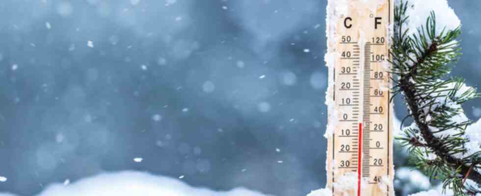
After a one-month period of extreme mildness, we found this Monday, January 17 for the first time since December 19, a thermal indicator below normal. While southerly flows dominated during the Christmas holidays and until mid-January with the disappearance of mountain snow at low and medium altitudes, a disturbed north-westerly regime brings us colder air since last weekend. So far the cold has remained moderate with a few light frosts in the morning and daytime temperatures remaining close to normal for the season. In the middle of the week, the drop in temperatures continues and the snow begins to affect certain plain regions (3 cm in Orléans, 4 cm in Auxerre). There were 9 cm in Belfort at only 400 m altitude and up to 14 cm in Langres in Haute-Marne at 470 m altitude.
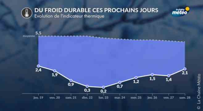
A more continental flow and an intensification of the cold in the coming days
© The Weather Channel
From Friday, the high pressures will settle over our country and the flow will become more continental. In this weather context, with calm weather and often clear nights, nocturnal radiation will be significant leading to significant cooling of the lower layers of the atmosphere. The frosts will therefore spread to most of the country. They will sometimes be strong in the plains and sheltered valleys with -5 to -8°C. It is on the snowy ground that the cold will be most intense with severe frosts between -8 and -12°C in the plains and between -12 and -20°C on the first sheltered plateaus of the mountain areas, especially between the Jura, the Massif-Central and the Alps.
Winter has left to settle until the end of the month.
© The Weather Channel
The weather trend has good reliability for the cold to persist until the end of January. It is at the beginning of next week (Monday) that the thermal indicator will present the strongest negative anomaly, being 5°C below seasonal norms. Temperatures could rise slightly thereafter while remaining on average 2-3°C below normal for the season. After the first half of January with a thermal indicator 4°C higher than normal, we could end the month of January with a positive anomaly of +1°C.