Weather France/X
In the grip of “Moscow-Paris”, France will experience an exceptional cold snap starting this weekend.
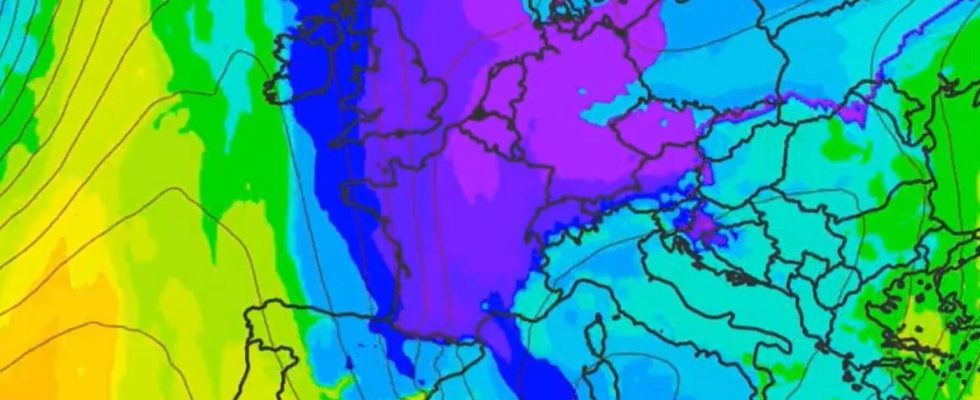
WEATHER – A tune from Scandinavia that has nothing to do with Abba’s choruses. After a new episode of rain which led to new floods in Pas-de-Calais, France is preparing to shiver. A drop in temperatures is in fact anticipated from this Saturday, January 6 and it will be “more than 10°C nationally”warns Météo France. “France will experience its first real winter offensive”summarizes Anthony Grillon, founder of the Météo Contact forecast site.
This episode is caused by the anticyclone which is setting up over the British Isles, blocking the westerly flow which usually arrives over France. As a result, this flow “will be replaced by an east to northeast continental flow, much colder in this season”, explains Météo France.

This meteorological phenomenon, nicknamed the “Moscow-Paris” by specialists, will import part of the cold which has been hitting northern Europe for several days. “Generally speaking, it is between -25 and -40°C from northern Scandinavia to western Russia,” forecasters pointed out in the middle of the week from the specialized site Weather Cities. Futura Sciences recalls for its part that in February 2012, the mercury had dropped to -18°C in the Paris region due to “Moscow-Paris”.
Widespread frosts
In France, the arrival of cold air will result in a drop in the mercury starting this Saturday “at the edge of the reliefs”warns Météo France. “The frosts will become widespread on Sunday and especially from Monday. » Frosts that should concern “almost the entire country next week, and even be strong (minimum temperature less than or equal to -5°C) from the Massif Central to the eastern borders for a good part of the week.”
And we should not count too much on a rise in temperatures during the day, warns the forecast service. “Monday and Tuesday, the maximums should struggle to exceed 0°C over a good eastern half of the country, up to the Central region and Île-de-France, they will barely be positive on the western side of the country.” The feeling of cold will also be accentuated by a northerly breeze.
The only regions that will experience slightly less freezing temperatures are the “coastal areas of the North-West, the South-West, and even more around the Mediterranean where the temperature anomaly will be less marked”.
Not a “cold snap”
Despite this drop in mercury, we will not be able to “to speak a priori of a real cold snaplack of sufficient intensity »notes Météo-France, which uses these terms when several specific conditions are met.
However, the national average temperature “could drop below 0°C at the start of next week, which has not happened for almost six years (February 2018), accentuating the remarkable side of this upcoming cold episode.”
Also see on The HuffPost: