Isn’t life beautiful? From tomorrow, you will be able to inaugurate the superb hat knitted for Christmas by aunt Jacqueline (matched with the mittens and the collar warmer, a splendour), test your latest heated mittens (yes yes, we promise you it exists) and go out again from the back of the closet this down jacket that is much too warm for the mild winters of recent years. Because from this Sunday and at least until Thursday, a cold wave will cross France.
It will be the coldest in the East (but don’t be too smart in the West)
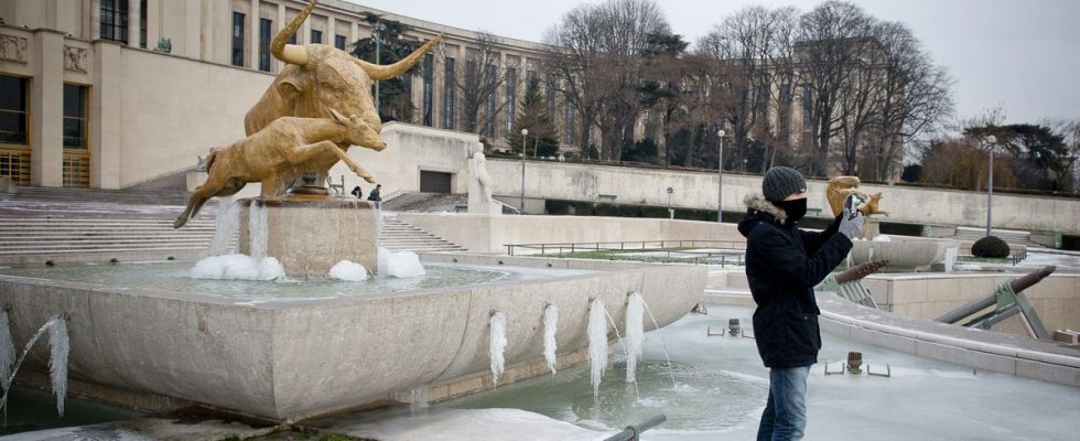
Until now, winter has felt like an endless autumn, rainy but not really chilly. But this week, temperatures will rarely exceed 0 degrees. Tuesday should be the coldest day, with negative temperatures in the morning across almost the entire country: -5°C in Belfort, -3 in Lille, -2 in Paris, Bordeaux and Rennes, 0 in Lyon and Toulouse …but 9 in Marseille. On that day, the national thermal indicator (average temperature recorded in 30 meteorological stations in the territory) should fall below 0°C, which has not happened since February 2018.
The east of the country is the most exposed region. “Temperatures will plunge to -10 to -15°C locally at night in the valleys, cold holes and certain valley bottoms,” specifies The Weather Channel. The cold will be more moderate in the west of the country and on the Mediterranean coast.
The fault of “Moscow-Paris” (for once, it has nothing to do with Putin)
This cold air comes to us straight from Russia and the countries of northern Europe. A relatively classic phenomenon called “Moscow-Paris” which has already caused cold waves in our country that are much more intense than the one that awaits us. For the Nordic countries, the episode is harsher. Temperatures, for example, fell below -40°C in Sweden on Thursday. A record for twenty-five years. Across northern Europe, heavy snowfall has left thousands of motorists stranded on the roads. In France, it should not snow (or very little) this week.
Not a cold snap (according to the rules of the art)
Meteo France states that “with climate change, cold spells are still possible, even as the climate warms.” But these waves have become “rarer, less long and less intense” over the last thirty-five years. The “four longest and most severe cold waves” were observed more than thirty years ago, specifies the organization, in February 1956, January 1963, January 1985 and January 1987.
Therefore, the cold episode expected in the coming days does not meet the criteria of a “cold wave” strictly speaking. For a cold spell to be considered as such, the national thermal indicator must be below 0.9° for at least two days – this should be the case for four days – but the average temperature must also be national level falls below the threshold of – 2°. However, it should not exceed – 1° Tuesday, the coldest day. We will therefore rather speak of an episode of marked cold. This did not prevent a certain number of prefectures from activating their “severe cold” plan.