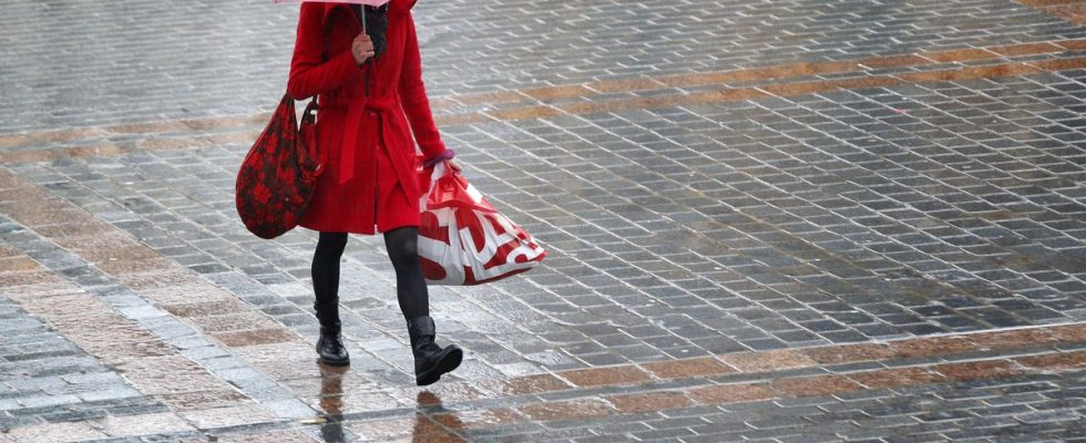
We would have liked to announce blue skies with a hint of cold. Ideal winter weather, in short. Unfortunately, this is not what Météo-France is announcing for Sunday. The Southerners will escape the rain, but will reap in exchange the Mistral and the Tramontane, which will blow up to 100 to 110 km/h, up to 120 on the Côte Vermeille. The sky will remain clear from the lower Rhône valley to the plains of Languedoc and Roussillon.
Instability will remain in Corsica, where cloudy periods will be frequent, causing snow showers above 1200m. These clouds will manage to spill over into the PACA region.
From Brittany to Normandy, the Pays de la Loire, Poitou-Charentes and Aquitaine, the sun will make beautiful appearances after the morning gray has dissipated. A few showers may still occur on the Channel coasts during the day. The clearings will be wider in the afternoon from the tip of Cotentin towards Brittany and the Atlantic coast.
From the North-Eastern borders to the center of the country up to the Pyrenees, clouds will dominate throughout the day. The sky will be low and gray, mixed rain and snow will be expected from Hauts de France to Île de France, it will snow from 150m in the North-East quarter, from 300 to 400 m in Burgundy, Lyonnais , the Massif central, the north of the Alps, from 400 to 500 m on the Pyrenees. These rain-snow limits will tend to drop a little during the following night.
At daybreak, temperatures will be between -3 and +3 degrees in the interior, between 2 and 5 along the Channel coast as well as on the Atlantic coast, between 5 and 7 on the Mediterranean coast.
The maximums will rise from 2 to 4 degrees in the North-East quarter, from 4 to 7 in the North-West, 6 to 10 further south, up to 12 from Toulon to Menton, where the boldest among you will be able to take part in the New Year’s bath. Meet at 9:30 a.m. at Voûte number 1 in Les Sablettes, with your towel – and your wetsuit if you feel like it.

