A gust of wind is felt this Friday March 8, 2024 in the south of France with, already at midday, gusts exceeding 100 km/h on the heights of the Cévennes. Values which must also be reached in the afternoon on the coasts near Marseille. And this is just the beginning of a weekend with turbulent weather. Here is the forecast for the next two days.
Heavy rain on Saturday
During the night from Friday to Saturday, a depression will affect the entire west of France. Almost stationary, it will stay there all day and mainly affect the Atlantic coast, before disappearing.
Concretely, we should expect rain on Saturday, particularly in Brittany and the Pays de la Loire, in the morning then a large western half in the afternoon. In the West, the heaviest rainfall recorded at the end of the day on Saturday will be 34 mm south of Quimper (Finistère) or 30 mm north of Sables-d’Olonne (Vendée), predicts the European meteorological model ECMWF this Friday. These values could also be reached near Brive-la-Gaillarde (Corrèze), for example.
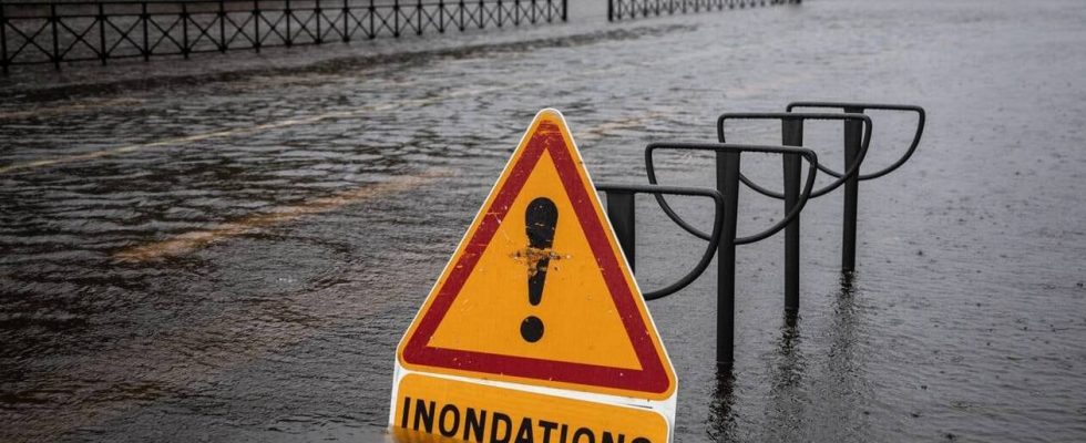
This Friday, Météo France is forecasting an orange alert for Saturday for floods in Charente-Maritime and for rain-flooding in Ardèche, in the Var and in the Alpes-Maritimes.
In the Cévennes, under the effect of a Mediterranean episode, the accumulations will exceed 130 mm during the night from Saturday to Sunday. Further south, for example in Toulon or Avignon, accumulations could rise up to 80 mm. All this on soils already saturated with water.
Here is the European model’s forecast for rain accumulations on Saturday evening:

Concerning the wind, it will still blow in the Cévennes, mainly, on Saturday all day, with a peak at 114 km/h at 4 p.m., according to forecasts from the European model. Overall, the entire Southeast will experience gusts.
End of episode Sunday
Sunday, the depression over the West clears. Showers are, however, still forecast, with totals at the end of the day of 35 mm south of Quimper and 34 mm in La Roche-sur-Yon (Vendée). In the southern half, accumulations will rise to 144 mm in the Cévennes.
Here is the European model’s forecast for rain accumulations on Sunday evening:

The gale will be over for all of France.
At the start of the week, gusts (less strong than the weekend) will still be possible in the South. Showers are also forecast next week. They will arrive on soils already saturated with water. We will therefore have to watch this new episode, especially next weekend.