By Chloe Berry
Published on
updated on 16 Nov 23 at 4:13 p.m.
See my news
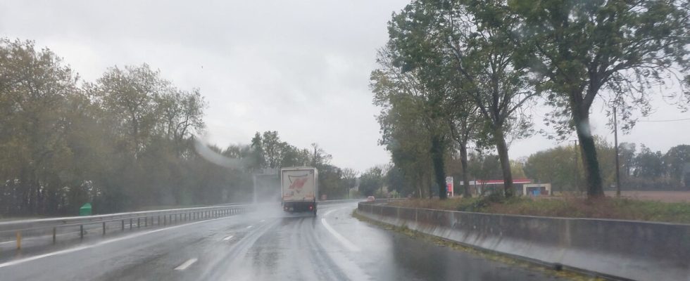
Depressions follow one another, but are they similar? We’ll know soon enough. After Ciaran and Domingos, it’s Frederico which arrives in France this Thursday, November 16, 2023. The storm will start in Brittany, since it will approach the Western region at the start of the day.
At 4 p.m., Météo France places ten departments on orange alert for strong winds and the risk of flooding.
These are Alpes-Maritimes (Wind), Charente-Maritime (Floods), Haute-Corse (Wind), Meurthe-et-Moselle (Floods), Nord (Floods), Pas- de-Calais (Floods), Puy-de-Dôme (Wind), Var (Wind), Vendée (Floods) and Vosges (Floods).
Tomorrow, Friday, there will be nine. Only Puy-de-Dôme is coming out of orange vigilance.
Gusts of up to 130km/h expected
Around midday, the wind will strengthen significantly on the terrain of the Massif Central. Gusts exceeding 100 km/h could repeatedly reach the Clermont-Ferrand metropolitan area, temporarily up to 120 km/h.
In the mountains, gusts close to 130 km/h are possible, before a return to calm in the evening.
Moreover, 73 departments are on yellow alert for risk of strong wind, floods or rain-flooding.
Strengthening precipitation
This Thursday, Frederico should travel to the north of the country on a Brittany/Alsace route. It is accompanied by an increase in wind, but also an increase in precipitation, particularly in the northeast of the country.
Heavy rain is expected by Friday morning in the Vosges. “These accumulations could be revised upwards,” indicates Météo France.
Follow all the news from your favorite cities and media by subscribing to Mon Actu.

