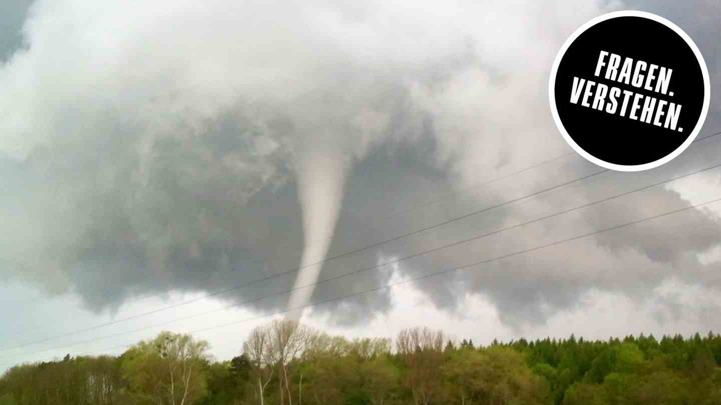
Real tornadoes here in Germany too. How do they come about? Take: A storm cloud and a wind shear. Everyone knows storm clouds. Wind shear is when the prevailing wind direction changes significantly with altitude. If wind shear and thundercloud come too close, there is a risk of trouble. Because in the thundercloud, winds rise vertically. When these mix with the horizontal shear winds, the thundercloud’s hot, humid air is twisted.
Similar to a corkscrew. So twisted. That’s why Americans like to call tornadoes twisters. The twisting forms the trunk of the tornado, which is repeatedly accelerated sideways like a spinning top and rotates at breakneck speed. The pull of the trunk is largely unpredictable, its suction and above all its wind pressure destroy everything that gets in its way if it is strong enough. Tornadoes are divided into several categories. This is based on the so-called Fujita scale. The most devastating in America reach wind speeds of more than 400 km/h.
In Germany, tornadoes occur most frequently in the North German Plain. And mostly in the lowest categories. So mostly harmless. The phenomenon can usually be observed in early summer: When we have the most frequent thunderstorms, the local tornadoes are in high season.