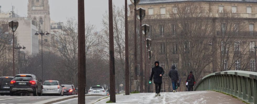
The mercury continues to fall this Tuesday in the thermometers. The cold is getting worse in the north-east of France as well as in the Massif Central, combining with the risk of flooding in the North and Pas-de-Calais. The day should also be the coldest of the week in France, with temperatures felt between -5°C and -10°C over a vast northeastern third.
“The winter offensive continues,” announces Météo-France. “In the north of the country, the North-East wind accentuates the feeling of cold which is spreading. Nighttime temperatures are freezing. »
The snow is coming back
It will be -7°C to -4°C degrees in Hauts-de-France, Grand-Est, Brittany, Auvergne and Limousin, and -5°C to -2°C degrees in the rest of the territory, anticipates the meteorological service. Tuesday morning, only the Côte d’Azur and Corsica will record positive temperatures, with minimums of between 3 and 7 degrees and maximums of 8 to 14 degrees.
Snow will appear in Drôme, Isère, Ain and Jura, for a few centimeters. Snowflakes may also fall, in small quantities, from the Paris Basin to Lower Normandy and Brittany.
Forty-eight departments are on yellow “severe cold” vigilance and the Nord and Pas-de-Calais remain on orange “flood” vigilance. In Blendecques, in Pas-de-Calais, one of the municipalities severely affected by flooding last week, frost has frozen the mud in the streets. In Arques there is no more water on the Town Hall square but some residents found themselves without heating, while Météo-France forecasts -6°C on Wednesday.
The “cold snap” is officially not here
Although temperatures dropped quickly after a particularly mild period, the current situation does not, however, meet the criteria of a “cold wave”, defined in France as a lasting and widespread episode of cold (at least three days) of which at least a day when the average temperature (national thermal indicator) drops below -2°C. Indeed, temperatures will rise slowly from Wednesday but the minimums will remain low, with almost widespread and locally severe frosts, however warns Météo-France which also anticipates “a snowy episode” which could concern Aquitaine, the Midi- Pyrenees and Languedoc-Roussillon, and continue on Thursday.
If the level of cold promises to be “ordinary” in the east of the country, Météo-France notes that “this will not necessarily be the case in the western regions, at least locally”. “From Normandy to Brittany, via Maine, the sequence of a few days without a thaw has become rare,” underlines the organization, adding: “In Alençon or Laval, if we stay three days below 0° “As this could happen, it would be unprecedented since February 2012.”

