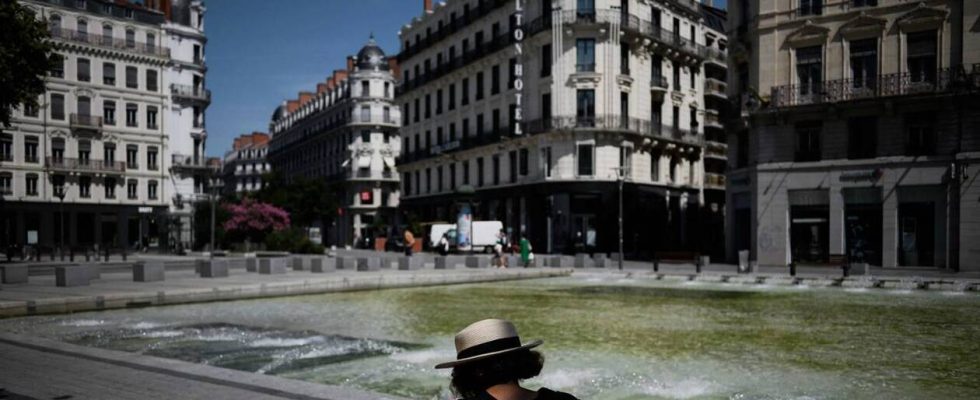
France is not quite finished with the heat wave. This Saturday, September 9 should be the hottest day of the year in several cities, notably in Paris, and Météo France has decided to keep 14 departments on orange heatwave alert for Sunday.
Cher, Eure-et-Loir, Indre, Indre-et-Loire, Loir-et-Cher and Loiret, i.e. all the departments of the Centre-Val de Loire region, are affected by this orange vigilance, as are the departments of Ile-de-France: Paris, Seine-et-Marne, Yvelines, Essonne, Hauts-de-Seine, Seine-Saint-Denis, Val-de-Marne and Val-d’Oise.
The 35°C mark was reached in the capital this Saturday, after a tropical night, and 36°C was exceeded, according to provisional data, in Cher, Eure or further south, in Dordogne and in Gironde.
Read also: Heat wave, global warming… Will it be possible tomorrow to do without air conditioning?
The decline is coming from the West
Sunday, after a night where it will still be very difficult to sleep peacefully, temperatures will remain high, around 35-36°C, in the departments on heatwave orange alert, according to Météo France.

It will also be 30°C in Strasbourg, 31°C in Lille, 32°C in Toulouse, 33°C in Lyon but the drop in values seems to be confirmed. In the west of the country, the maximum will be down by 2 to 3°C, with for example 28°C in Nantes and 29°C in Rennes. Not yet totally breathable but a little less bad than the last few days.
Read also: Why late heat peaks are and will be even more frequent in the future
Thunderstorms expected Monday
On Monday, the weather change will be more abrupt with, according to forecasters, “a clear cooling from the West, associated with a stormy degradation”which will progress to the center of the country.
Maximum temperatures will be between 22 and 29°C over a large western half of the country, lower than the 30 to 34°C expected on the eastern side. After this transition day, temperatures should continue to drop to return to normal seasonal levels.