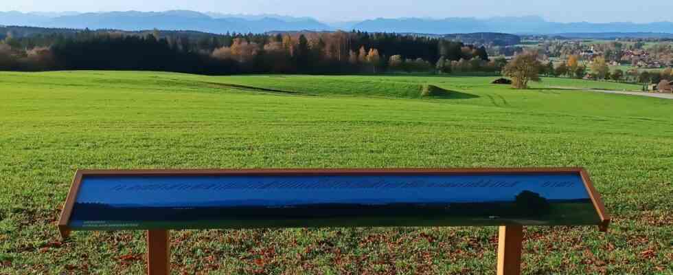
In the southern district of Munich, people like to advertise that the mountains are on the doorstep. When the weather is good, you can see almost the entire chain of the northern Limestone Alps, from the Wendelstein to the Zugspitze. But what are the names of all the peaks in between? Anyone standing on the Ludwigshöhe is quickly overwhelmed when they have to say what large rubble is blocking their free view of the Mediterranean Sea. Almost two years ago, a citizen suggested setting up a panorama map there on the highest elevation in the district, on which the names of all the Tegernsee mountains, the peaks of the Karwendel and Wetterstein, and even the Ammergau Alps are written. Good idea, thought Straßlach-Dingharting’s Mayor Hans Sienerth (independent) and made the project a top priority – not realizing that the implementation would take almost as long as the unfolding of the Alps once did. First there was no photographer, then neither glazier nor carpenter. In the end, panorama photographer Hubert Walther, a glazier from Munich and a carpenter from near Dachau did the job. Now nobody on the Ludwigshöhe can claim that the Krottenkopf is the Great Waxenstein.
Straßlach-Dingharting: Panoramic map on the Ludwigshöhe – district of Munich