storm
Hurricane low over Western Europe: flooding and squalls threaten
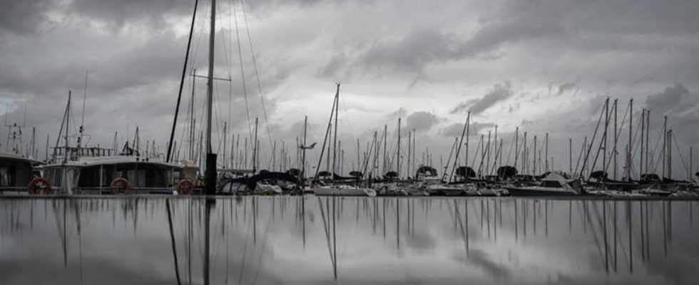
There was a risk of flooding from storm waves on the entire French Atlantic coast until the evening. photo
© Philippe Lopez/AFP/dpa
Severe storms hit France and southern England overnight. There is also a risk of strong gusts and heavy rain today. “Emir” is likely to be felt in other countries – much weaker in Germany.
High wind speeds were expected in the UK until mid-morning in the counties of Cornwall and Devon. “Emir” is expected to rage on the southeast coast from Hampshire to Kent and Essex until the evening. The British weather service Met Office warned of danger to life from flying debris and falling trees.
A major incident was declared in the county of Hampshire from midnight. Several ferry companies canceled their English Channel connections on Thursday. Flooding was expected along the coast. The British Coast Guard warned people not to stay near the shore. On the Channel island of Jersey, the weather service warned on Thursday night of wind gusts that could reach speeds of almost 160 kilometers per hour in the early morning.
Power outages and restricted traffic
In France, train services in the regions of Brittany, Normandy, Pays de Loire, Hauts de France and Center Val de Loire were largely suspended for Thursday. In three particularly hard-hit departments, Transport Minister Clément Beaune called for people not to use cars. Trucks were also initially not allowed to drive. In some cases, reduced maximum speeds should apply in road traffic. Communities had reinforced dams and set up additional barricades near the coast on Wednesday.
According to media reports, there were power outages in several places in France during the night and trees fell over. A person was slightly injured in a traffic accident in the western department of Finistère. There were a number of fire brigade operations. Flights were unable to land at Nantes airport due to the weather and were diverted south to Toulouse.
Low temperatures are likely to reach the Netherlands and Belgium today
Other countries are also likely to feel the low on Thursday. Warnings were issued about the storm in large parts of the Netherlands. The Meteorological Institute is expecting gusts of up to 110 kilometers per hour on Thursday, especially on the coasts. The ANWB automobile club appealed to people to work at home on Thursday if possible. Extremely long traffic jams are expected due to strong winds and heavy rains.
In Belgium, parks and other forested areas are to remain closed in some places as a precaution. According to the railway, there will be no trains running between France and Belgium on Thursday. According to the information, no trains should run between the city of Bruges and the North Sea coast; a speed limit applies to other trains. According to forecasts from the Royal Meteorological Institute, wind gusts of between 80 and 90 km/h in the east of the country and 100 to 110 km/h in the west are expected in Belgium.
Germany should also feel something of the low, but only to a very weak extent. The German Weather Service expects gusts of up to 85 kilometers per hour, especially at higher altitudes and on the North Sea coast, and up to 100 kilometers per hour on the Brocken in the Harz Mountains.

