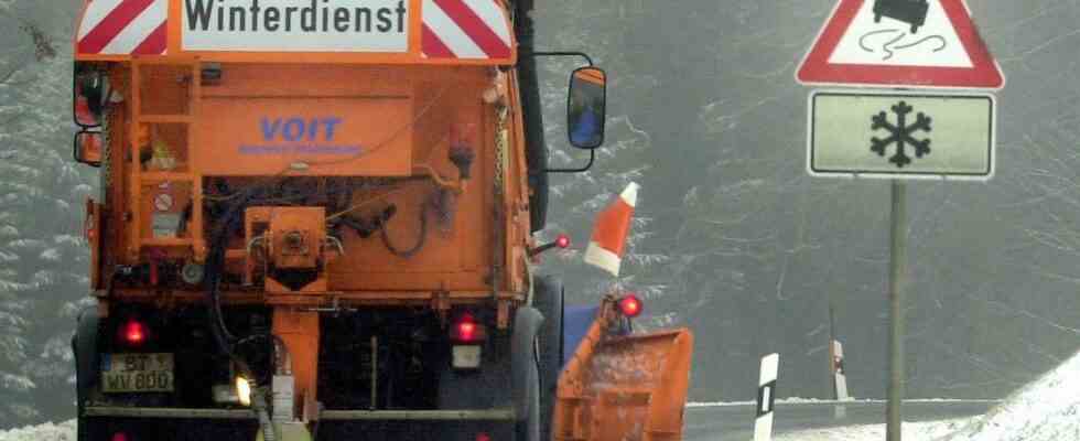
Winter is coming back to Bavaria. The low pressure area “Björn” brings not only snow but also storms. From Tuesday evening it will be uncomfortable again in parts of Bavaria.
As the German weather service reports, an air mass limit coming from Sweden is shifting from northern parts of Germany to central Germany. The result: in the northern districts of Bavaria there is precipitation. The low mountain range regions of the Franconian Forest, the Fichtelgebirge and the Rhön are particularly affected. Here is with up to five centimeters fresh snow expected by Wednesday morning. On Wednesday mornings in northern Franconia, it will also fall by 1 to 5 cm at lower altitudes, in the Rhön, in the Franconian Forest and the Fichtelgebirge 5 to 10 cm.
By the afternoon, the snow will turn into sleet, and on Thursday night it will rain across large parts of Bavaria. However, in the regions north of the Danube above 600 meters there are still a few flakes, a maximum of five centimetres.
In addition to the precipitation, the meteorologists expect in the night to Thursday squalls. The wind spikes reach in southern Bavaria partially over 65 kilometers per hour. There will also be stormy gusts in Franconia and in the Upper Palatinate until the early afternoon hours, and there will even be occasional heavy gusts of wind in the foothills of the Alps. on the alpine peaks the wind blows at times hurricane-force gusts.
Away Friday is in all of Bavaria with precipitation and strong gusty wind to reckon with. On Saturday, cold air advances to the edge of the Alps. 5 to 10 cm of fresh snow is expected to fall over 1000 meters, and 10 to 15 cm in the western Alpine region. The back and forth, which is caused by low pressure areas that are sweeping across northern central Europe in quick succession, will continue until Sunday.