Thunderstorms, storms and heavy rain
Official warnings: These maps show where severe weather is expected today
Storm: The picture shows the thunderstorm warning for Germany for today, as of Friday morning. You can always find a current version in the article
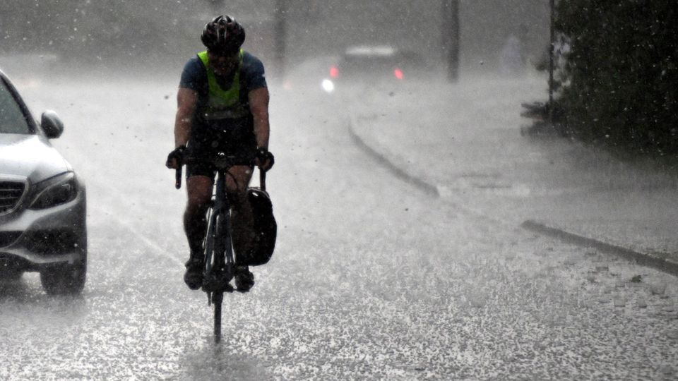
Thunderstorms and sometimes heavy rain are also expected in parts of Germany on Friday. The map below shows where storms are approaching.
Table of contents
The German Weather Service (DWD) has warned of extreme storms for Saarland and parts south of Rhineland-Palatinate. From Friday morning until the Saturday night Heavy, continuous rain is to be expected, especially in the areas west of the Rhine, the DWD announced on Friday. Amounts of between 30 and 50 liters per square meter are expected here in 12 to 24 hours; in some areas up to 70 liters per square meter can also fall.
“Extremely heavy, continuous rain” can be expected in Saarland and southern Rhineland-Palatinate. In some locations, up to 100 liters per square meter can fall in 12 to 15 hours. The State Office for Environmental and Occupational Safety warned of floods in Saarland due to continuous rain on Friday night. There is a significant risk of flooding on the smaller Saar tributaries on Friday, it said. Flooding of agricultural and forestry areas or low-lying buildings and cellars is to be expected.
The DWD also warns of heavy rain for southern Hesse; between 30 and 50 liters per square meter could fall in 12 to 24 hours. From the Odenwald to Bergstrasse it can locally be 40 to 70 liters per square meter.
There is currently a so-called omega weather situation over Europe, explained DWD meteorologist Christian Herold on Tuesday. This is characterized by a strong high flanked by areas of low pressure. “The high-altitude current, normally running from west to east, is diverted around this high and thus takes the shape of the Greek letter Omega (Ω), which gives this weather pattern its name,” said the meteorologist. “Such omega weather conditions are usually very stable, so there will be no significant changes for the time being.”
Weather map I: See live where thunderstorms are currently approaching
The interactive map below shows where there is currently lightning, thunder and rain. You can also view the forecast for a later date using the timeline at the bottom of the graphic. At the top right, the level displayed can also be changed to, for example, rain or snow.
The service is provided by Windy.com. The makers use the model from the “European Center for Medium-Range Weather Forecasts” for their representations and forecasts.
Weather map II: The thunderstorm warnings for today
The map above shows the thunderstorm warnings from the DWD for today. It is a binary weather map, i.e. places for which there is a thunderstorm warning are colored red. No coloring means no warning.
Tips on what to do during thunderstorms
Sources: DWDagencies


