From 4 p.m. in Paris, Reunion Island will go into orange cyclone alert, announced the prefect of this island in the Indian Ocean, Jérôme Filippini, during a press conference. “We must take seriously, even very seriously, what is happening,” insisted the prefect of this French department and region of some 870,000 inhabitants. “You have to stock up on water and food, prepare to be self-sufficient for a few hours or a few days, have your first aid kit. We must ask ourselves now (the question) where you will be safe from Sunday evening,” underlined the prefect.
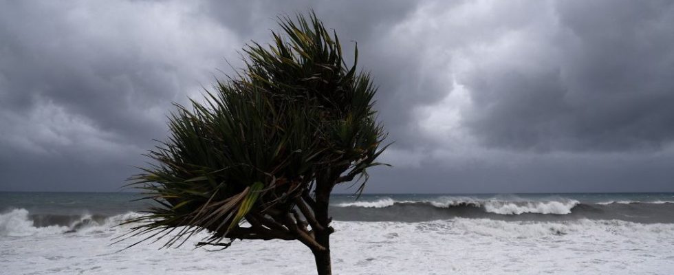
Because offshore, storm Belal is intensifying, indicates Céline Jauffret, interregional director of Météo France. The system should pass as close as possible to Reunion between the end of the night from Sunday to Monday and the day of Monday. According to current forecasts, the eye of the cyclone could pass approximately 100 km from land, between Reunion and Mauritius.
It would then be “at the stage of a cyclone or even an intense cyclone as close as possible to Reunion Island. We expect significant impacts due to winds, rain and swell,” detailed Céline Jauffret. Météo France predicts gusts of more than 150 km/h on the heights of the island. “A direct impact (on Reunion Island) is not excluded, which would involve winds exceeding 220 km/h in the low areas and reaching 250 km/h in the high areas,” she warns. Swells exceeding six meters and heavy rainfall are also expected.
Reunion has not been hit by an intense cyclone for ten years and the passage of Bejisa in the first days of 2014. Asked about the triggering of the red alert, synonymous with imminent danger, the prefect replied that this passage was “quite likely”, even if “it is much too early” to give the day and time of its activation.