After almost 20 years of planning and development, a German environmental satellite is finally set to see the world from above. If nothing else comes up, then it will Enmap, as the scout, which weighs just under a ton, is called, will be launched from Cape Canaveral on Friday afternoon. For five years it will then monitor the water quality of lakes from orbit, detect nutrient deficiencies and pest infestations in plants and identify minerals in soil. All this with a particularly fine look.
Then Enmap is a so-called hyperspectral satellite, the first that Germany wants to send into space. While the sensors in commercially available digital cameras see the world in three colors – red, green and blue – and use them to calculate their images, Enmap 242 individual color tones can be perceived. The shades come from both the visible light and the infrared range, which cannot be seen by the human eye and directly follows it.
This variety of shades is enmaps big plus. It promises hitherto undreamt-of insights into what is happening on earth: Every material on the surface – whether plants, soil, rocks or bodies of water – reflects the incoming sunlight in a very special way. Some color tones are swallowed up in the process, and a characteristic fingerprint is created in the reflected light. Enmap, which is said to be about 650 kilometers high above the ground, collects this reflected radiation and breaks it down into its 242 channels. Depending on which sensors hit how hard, conclusions can be drawn about the condition of the observed materials on the ground.
Every 27 days, Enmap passes every point on earth
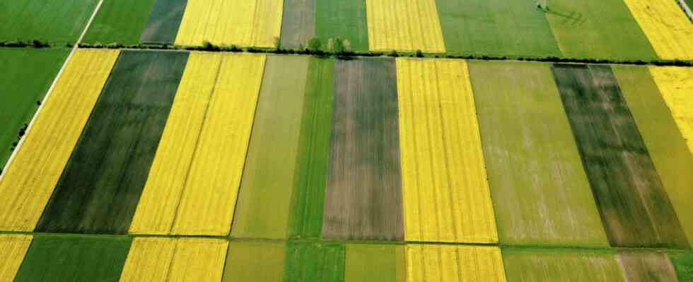
Enmap can not only see which plants are being grown on a field, but also how their nutrient supply is, whether they are suffering from a lack of water or whether they are being affected by air pollution. In lakes or coastal waters, the satellite should reveal which pollutants are dissolved in the water and whether algae or suspended matter are affecting the water. As a result, so the hope of Enmapteams would not have to take as many water samples. The satellite should also observe forest areas from space and detect pest infestation or water stress at an early stage.
Overflies every 27 days Enmap every point on earth. This interval can be shortened to four days by intentionally turning its hyperspectral camera and looking sideways – for example in the case of natural disasters, where the most up-to-date images are required. According to the German Aerospace Center (DLR), the data should be made available to science, but also to authorities and companies. So far, the technology has only been used for observations with aircraft.
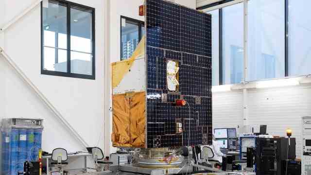
Looks a bit home-made here, but contains the latest technology: the new German hyperspectral satellite “Enmap”.
(Photo: H. von der Fecht/OHB)
Enmap is therefore not only Germany’s first hyperspectral satellite, it is also one of the satellites that have so far taken the longest from the drawing board to the launch pad. As early as 2003, DLR asked for ideas for a corresponding mission. In 2008, it signed the contract to build the satellite for 90 million euros at the time. 2012 should Enmap start.
DLR attributes the fact that it has now taken significantly longer to “profound technological developments”, as it is said when asked. “These developments cost us time and took much longer than planned,” writes project manager Sebastian Fischer. “Now, after a ten-year delay and at a total cost of 300 million euros, things should finally get going.” After all: The need for the Enmapdata is likely to have grown even larger in the meantime – in view of the climate catastrophe and environmental destruction.