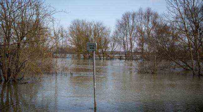
Despite the softening in the North-West, two departments remain in orange vigilance for “risks of floods”, this Tuesday, the North and the Pas-de-Calais, announced
Météo-France in its latest bulletin.
After a warm spell in the night from Monday to Tuesday in Hauts-de-France, then the North-West at the end of night, the disturbance entered by the North Sea, will give rains from Hauts-de-France to Champagne-Ardenne in the morning.
🔶 2 deposits in #vigilanceOrange
Stay informed on https://t.co/rJ24zzmmy4 pic.twitter.com/Jv37gFO31c
– VigiMeteoFrance (@VigiMeteoFrance) November 30, 2021
Snow in places
The disturbed wave will interest in the morning the regions north of the Seine to the Grand-Est, associated with a sensitive southwest wind. It will produce low precipitation, which will temporarily take on a snowy character in Alsace and Lorraine, before the change to rain in the afternoon.
On the other hand, pockets of cold air will resist in Haute-Saône, Territoire de Belfort and the Vosges. In fact, heavy and sticky snow will fall from an altitude of 400 meters for a good part of the day. From Normandy to Burgundy-Franche-Comté, aside from the rainy weather, some scattered rains will be possible, with snow on the Jura heights.
Freshness in the Massif Central
In the rest of the country, the weather will be dry but the cloudiness will be very dense. Nevertheless, in the South-West, after low clouds and freezing fogs, with locally refreezing of the wet pavements, the clearings will widen in the afternoon and the sun will prevail over the Mediterranean regions with mistral and tramontane.
Temperatures will remain winter. The minimums, at dawn, on the southern half, will drop from -3 to +1 degree. It will be very cold in the Massif Central, down to -7 / -9, especially in Cantal and Haute-Loire. It will already be milder in the North-West and Champagne-Ardenne, the minimum will occur during the night. We will therefore record, at dawn, from + 2 / + 5 degrees in general, up to + 9 / + 10 on the coasts of the Channel and in Corsica. Elsewhere, it will be between -2 and +2 degrees and + 3 / + 7 on the coast. The maximum will rise to 4/8 degrees, up to 8/12 in the North-West and over the Mediterranean regions.