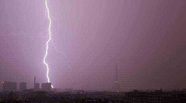
A thunderstorm (illustration). – CATERS / SIPA
Despite the evacuation of a first heavily cloudy episode towards Belgium, 23 departments are this Sunday morning in France in orange vigilance. Further degradation is also expected from the Massif Central to the North-East, according to the latest Météo France bulletin published at 6 a.m.
The public establishment has placed the Rhône in particular on heat wave vigilance, due to an early heat episode for the season. Temperatures were also still in the middle of the night around 28 degrees in the Lyon region. The stormy degradation expected during the day will limit maximum temperatures and put an end to this heat wave vigilance around 4 p.m. on Sunday.
Gusts of over 100 km / h
After a lull in the night, the thunderstorms will resume and will again become virulent from the morning on the Massif Central and reach in the afternoon the North-East of the country. These thunderstorms should be particularly windy with gusts which can locally exceed 100 km / h, or even be accompanied in places by vortex phenomena. They will give intense rains as they pass, locally causing flooding and urban runoff, as well as hailstorms, with marked electrical activity.
Allier, Cantal, Haute-Loire, Loire and Puy-de-Dôme are concerned by storm vigilance. Ain, Ardèche, Drôme, Haute-Savoie, Rhône, Savoie and Ain will have to deal with thunderstorms and heatwaves, just like Isère which also has a flood alert. In addition to thunderstorms, Météo France issued for Côte-d’Or, Doubs, Haute-Marne, Haute-Saône, Jura, Nièvre, Saône-et-Loire, Territoire de Belfort and Vosges an alert to strong winds. Finally, the Bas-Rhin and the Haut-Rhin are on orange alert for thunderstorms, strong winds and heatwaves.