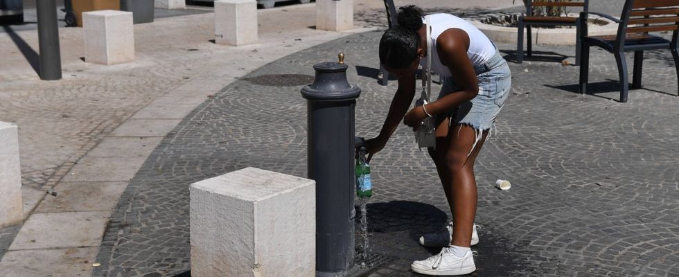
The heat will not dissipate tomorrow for the fourteen departments from the Center to the Paris region kept on orange heatwave vigilance, according to Météo-France forecasts. The departments of Indre, Indre-et-Loire, Cher, Loir-et-Cher, Loiret, Eure-et-Loir, Seine-et-Marne, Paris, Hauts-de-Seine, Seine-Saint- will still be affected. Denis, Val-de-Marne, Yvelines, Essonne and Val-d’Oise.
From the morning, the sky will nevertheless be threatening from Brittany to the Basque Country. The morning will be cloudy with a few stormy showers. During the day, clearings will develop over the south of Aquitaine while the sky will remain cloudy elsewhere on the western coast. New storms will be expected in the evening on the Aquitaine coast. Further east, the weather will remain calm. A veil of cloud will cover the sky from Occitania to the Belgian border. From the Mediterranean to the North-East, the sun will dominate, except on the edge of the Gulf of Lion where low clouds will spoil part of the day.
The minimums will be 14 to 17 degrees from Burgundy to Alsace, 16 to 21 degrees in the rest of the country. The maximum temperatures will remain hot with no less than 30 to 35 degrees, in places 36 degrees in the central regions. It will be cooler on the Breton coasts and around the Gulf of Lion with 21 to 26 degrees.