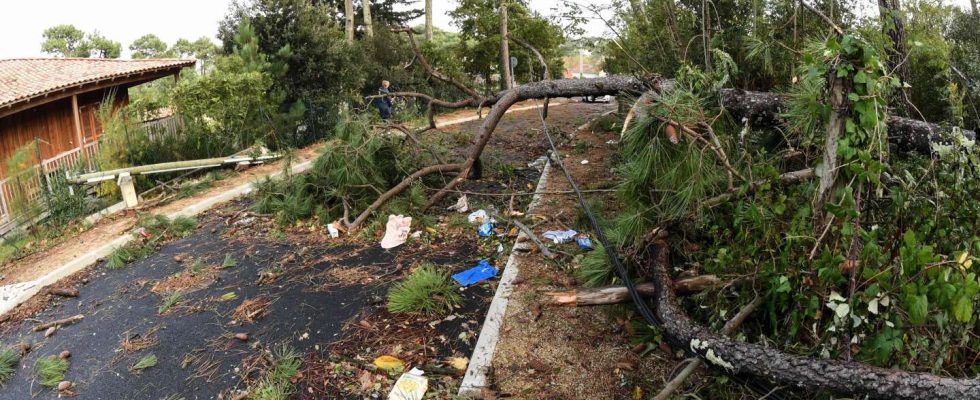
Météo-France warns Wednesday 1er May against a “strong storm wave” which will sweep from Burgundy to Hauts-de-France, between the end of the afternoon and the night. Fourteen departments have been placed on orange alert for the risk of thunderstorms: all the departments of Ile-de-France – Paris, Essonne, Yvelines, Val-d’Oise, Seine-et-Marne, Hauts-de-Seine, Seine -Saint-Denis, Val-de-Marne –, and the Oise, the Somme, the Aisne, the Marne, the Aube and the Yonne.
In these departments, “the storms are expected to be virulent with high intensities of precipitation, hail, squalls” as well as a “marked electrical activity”writes the meteorological agency in its latest bulletin published at 6 a.m.
On the border Alps, a return from the east – a meteorological term which designates the return from the east of France of a disturbance driven by a depression generally located towards the Mediterranean – will bring sustained and regular precipitation with a rain-snow limit around 2,200 meters. It will rain more lightly on the Atlantic coast, except the Breton tip which will find variable skies. In the afternoon, in the west, the rains will slowly sink into the interior of the country, in the Pays de la Loire, Poitou and the South-West. Rain will persist from Normandy to the Center, the Massif Central, Languedoc and the PACA region (Provence-Alpes-Côte d’Azur). They will also reach the Auvergne-Rhône-Alpes region.
In the North and North-East, the weather will deteriorate, except in Alsace, where sunny weather will prevail. The sky will become cloudy and thunderstorms will break out late in the afternoon and evening in Burgundy-Franche-Comté. They will sometimes be violent, with a risk of hail and strong wind gusts, up to 80 km/h. These storms will shift in the evening to Champagne-Ardennes, Ile-de-France then Hauts-de-France during the night.

