climate
Hurricane Otis is heading towards Mexico’s Pacific coast
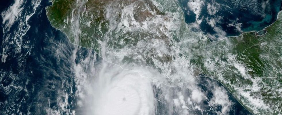
This satellite image provided by NOAA shows Hurricane Otis approaching Mexico’s Pacific coast near Acapulco. photo
© -/NOAA/dpa
According to forecasts, “Otis” is likely to continue to gain strength – the center of the storm is already moving with sustained wind speeds of up to 205 kilometers per hour.
According to forecasts, “Otis” is expected to continue to gain strength and is expected to reach the coast early this morning (local time). Authorities in the state of Guerrero called on the population to take precautionary measures before the hurricane’s arrival. During heavy and persistent rains, landslides and floods are common in southern Mexico, which can cause fatalities and significant damage.
Tropical cyclones form over warm ocean water. According to studies, increasing global warming increases the likelihood of strong storms. A hurricane is defined as a wind speed of 119 kilometers per hour. Hurricane season begins on May 15th in the Pacific and June 1st in the Atlantic. It ends on November 30th in both regions.