After summer heat
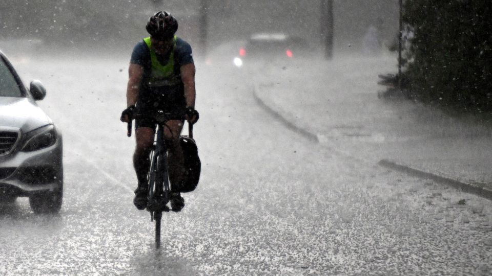
Thunderstorms, storms and heavy rain threaten: These maps show where storms are approaching
A thunderstorm front is spreading from the south to central Germany
© wetter.de
On Wednesday, parts of southern Germany are expected to experience some heavy thunderstorms and torrential rain. The German Weather Service is warning of severe weather, particularly in the south. The maps below show where it could get uncomfortable.
The German Weather Service (DWD) is warning of severe storms in southern Germany. Isolated but strong thunderstorms are expected from Wednesday afternoon until the early hours of the morning. There is also a risk of hail and gusts of wind with wind speeds of 8 to 9.
Above all, the DWD warns of heavy rain with 15 to 25 l/m², locally 25 to 50 l/m² in a short period of time or a few hours. In isolated cases, extreme storm amounts of around 70 l/m² in a few hours cannot be ruled out.
Thunderstorm front moves from the south to central Germany
“Thunderstorm activity will be slow to settle overnight into Thursday, but will probably not completely subside. The focus will continue to be on heavy rain with amounts of up to 25 l/m² in one hour, sometimes more (storms), in some areas also heavy rain lasting several hours of over 30 l/m² or over 40 l/m²,” said Jens Winninghoff, meteorologist at the DWD.
And the heat storms could even spread to almost all of Germany. “On Thursday during the course of the day – except in the northwest and northeast – strong thunderstorms are possible almost nationwide. In small areas, heavy rain of up to 25 l/m² in a short time, hail of up to 2 cm and stormy gusts or squalls are likely. Regarding heavy rain, there is still a high risk of severe weather with amounts of over 30 l/m² in a short time. In a narrow local area there could also be extreme storms with amounts of over 40 l/m² in a short time or over 60 l/m² in several hours.
The reason for the sudden thunderstorms is that “the high pressure influence with dry and very warm air is retreating to the north. From the south, the low pressure influence with moister, very humid air that is prone to thunderstorms is expanding into the central parts of the country,” explains Winninghoff.
Weather map I: See live where thunderstorms are approaching
The interactive map below shows where there is currently lightning, thunder and rain. You can also use the timeline at the bottom of the graphic to view the forecast for a later point in time. The level displayed can also be changed to rain or snow, for example, at the top right.
The service is provided by Windy.com. The creators use the model from the “European Centre for Medium-Range Weather Forecasts” for their representations and forecasts.
Weather map II: Real-time precipitation
The map above shows the precipitation in real time. It is provided by the portal Wetter.de, which, like stern, belongs to RTL Germany.
Weather map III: Thunderstorm warnings for today
The map above shows the DWD’s thunderstorm warnings for today. It is a binary weather map, meaning that places for which there is a thunderstorm warning are colored red. No coloring means no warning.
Tips on what to do during a thunderstorm
Sources: DWDagencies


