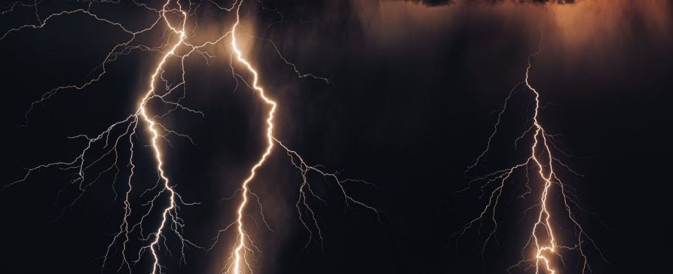
Hail, thunder and tropical heat… Major summer storms, which tear the scorching sky in the summer, are making a comeback in France. This Wednesday, Météo-France triggered orange vigilance for thunderstorms in four departments: Gers, Landes, Pyrénées-Atlantiques and Hautes-Pyrénées.
The few low clouds present over the northern half of the country will dissipate quickly on Thursday, at the very beginning of the day, on the Channel coasts and the sun will then prevail over a large northern half of the country, according to Météo-France forecasts. . Vigilance should be lifted around 11 p.m. on Wednesday.
Instability in the south on Thursday
But, further south, the instability will always remain relevant, showers will rage at daybreak from the Pyrenees to the south of the Garonne. They will generalize from midday in the southern half of the territory, still taking on a stormy character accompanied here and there by a thunderclap. This risk will be less marked all the same on the eastern flank and Corsica.
The maximum will always level off at the edge of the Channel with no more than 16 to 20 degrees. They will be higher elsewhere with 24 to 28 degrees in general, and up to 29 to 30 degrees from Pays-de-la-Loire to Burgundy.