Vigilance Meteo France
In the morning, showers accompanied by thunderclaps will fall from Languedoc to Brittany. They could be supported over Auvergne and the Rhône Valley as far as the Mediterranean coast.
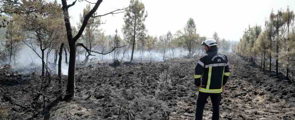
Last night the rain finally fell on the Southwest. The authorities feared dry thunderstorms and feared that lightning would cause resumption of fires or new outbreaks of fire. Finally, precipitation and temperature drops (about ten degrees less than last week) should contribute to the fight of firefighters in Gironde.
More than 12,000 lightning strikes were recorded on the territory between Saturday 6 p.m. and Sunday 6 a.m.
Clearings over the South-West
The weather will remain stormy from the South-West to the Pays de Loire, and the showers will reach the Center-East and Burgundy at midday. They will water the regions going from the Cévennes to the Center quite generously, as well as the Rhône valley. They will be less numerous near the Mediterranean and the weather will be calm on Corsica with variable skies.
The weather will remain chaotic in the afternoon on the east facade with thunderclaps. Showers will sweep across the entire Northeast in the evening. They will be scattered from western Normandy to the Belgian border.
On a southwestern quarter, clearings will develop, and thunderstorm activity will be concentrated near the reliefs.