Status: 02/21/2022 07:19 a.m
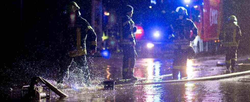
With “Antonia” Germany experienced the third storm night within a few days. Overall, however, “Antonia” left less damage than feared. And the weather forecast also gives hope.
The series of violent storms over large parts of Germany continued during the night. This time, “Antonia” is causing severe gusts of wind, after rows of trees had been overthrown and buildings damaged by the hurricanes “Ylenia” and “Zeynep” in the past few days.
Storm “Antonia” sweeps over Germany
Tagesschau 1:31 a.m., 21.2.2022
The Federal Maritime and Hydrographic Agency warned that there was a risk of storm surges again for the German North Sea coast. For a number of regions from the Baltic Sea coast to the edge of the Alps, the warning map of the German Weather Service was colored orange to red on Monday night – there were severe weather warnings of storm and hurricane gusts.
Overturned trucks and damaged houses
Above all, heavy gusts of up to 100 kilometers per hour swept across Baden-Württemberg in the lowlands. On the Feldberg even at a speed of up to 149 kilometers per hour.
A truck overturned on the Fehmarn Sound Bridge in Schleswig-Holstein due to the strong wind. The bridge was fully closed in both directions in the early morning. The closure is expected to be lifted by mid-morning. The truck driver was unharmed. The bridge connects the Baltic Sea island of Fehmarn with the mainland.
In North Rhine-Westphalia, violent gusts destroyed house roofs and damaged cars. In Herdecke, south of Dortmund, the roof of an apartment building flew off and landed on another roof. The second roof was also massively damaged. Nobody was injured. Elsewhere, trees fell as a result of the storm. The roof of the car was damaged. Overall, however, “Antonia” in North Rhine-Westphalia initially suffered significantly less damage than feared during the night.
Bahn warns of train cancellations and delays
Deutsche Bahn asked its passengers to find out whether the planned journey was possible. This applies in particular to commuters in rush-hour traffic. Those who can should postpone the trip. According to Deutsche Bahn, a total of more than 6,000 kilometers of the route network are now not passable after the past stormy days. Around 2,000 emergency services are on the move around the clock to remove fallen trees and repair overhead lines.
There are currently no long-distance trains between Hamburg and Rostock/Stralsund, Berlin and Rostock/Stralsund, Norddeich Mole/Emden and Cologne, and Siegen and Dortmund.
Ferry traffic is also partially suspended
Disabilities do not only exist on the rails, but also, for example, for ship passengers on the Baltic Sea between Rostock and Denmark. As the ferry company Scandlines announced, the trips between Rostock and the Danish port of Gedser were canceled until noon.
The weather is only expected to calm down in the evening. The wind will remain an issue this week, according to a DWD meteorologist. “However, it will be a completely different house number than what we are experiencing these days”.

