Thunderstorms, storms and heavy rain
New heavy rain threatens: These maps show where severe weather is to be expected
It’s going to be wet: The German Weather Service warns of new storms with heavy rain and the risk of flooding this weekend
© Robert Michael / DPA
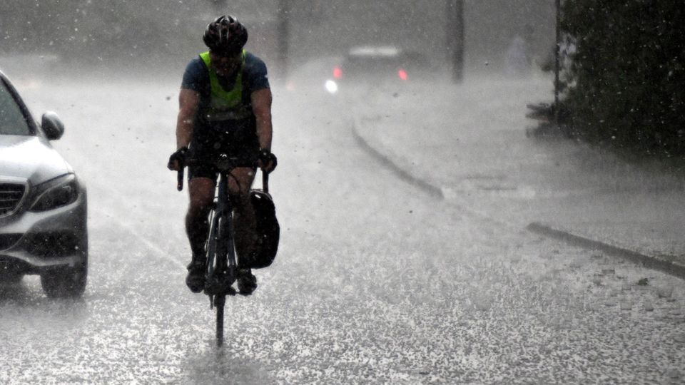
In parts of Germany there were heavy thunderstorms and heavy rain on Tuesday night. And the forecasts do not bode well either: persistent rain and flooding are expected over the weekend. The map below shows where storms are brewing.
Even if the weather calms down a little on Tuesday, at least temporarily, there is currently no sign of stable, dry early summer weather. The foothills of the Orinoco depression will reach us as early as Wednesday night. According to the German Weather Service (DWD), it will bring increasing showers and local thunderstorms from the west and northwest to the center. In the southeast half, it will be partly cloudy and partly dry. The lowest temperatures will be between 14 and 5 degrees, with the lowest temperatures in southeast Bavaria.
On Wednesday it will be dry only in the extreme east and southeast, where the sun will initially shine. Further eastwards the precipitation will spread, in the west and northwest there will be showers and Thunderstorms. Maximum temperatures will be between 18 and 24 degrees, with the highest temperatures in the east.
Storm: Continuous rain threatens this weekend
During the night into Thursday, the rain will reach the east and southeast, with heavy rain, showers and thunderstorms in some places, with maximum temperatures between 17 and 22 degrees. On Friday, some longer periods of rain are forecast for the south. In the rest of the country, the DWD is expecting changeable, showery weather and isolated thunderstorms. Maximum temperatures will be between 18 and 24 degrees, with around 15 degrees in continuous rain.
The weather service is also forecasting persistent rain for the weekend. “Low pressure Orinoco feels right at home in Central Europe and will settle here over the weekend,” said a spokesperson for the DWD. It is bringing with it “huge cloud clusters, from which very heavy rain can sometimes fall.” It is not yet clear where the low pressure will end up and it is not yet possible to estimate which regions will be affected by the heaviest rainfall. “Taking due account of the forecast uncertainties, however, the focus seems to be on the southern, eastern and central parts of the country. That is where the models are currently simulating the most rain,” explained the expert.
“By Monday, there could be 40 to 60 liters per square meter in many places. In some areas, however, significantly higher amounts of between 60 and 100 liters per square meter are possible; extreme calculations even suggest peaks of around 150 liters per square meter,” said Leyser. By comparison: “In many regions, this corresponds to about one to two times the monthly rainfall for May within two days.” This means that some rivers are at risk of flooding. Because: “These masses of water are entering the streams and rivers and causing the water levels to rise sharply.”
Weather map I: See live where storms are approaching
The interactive map below shows where there is currently lightning, thunder and rain. You can also use the timeline at the bottom of the graphic to view the forecast for a later point in time. The level displayed can also be changed to rain or snow, for example, at the top right.
The service is provided by Windy.com. The creators use the model from the “European Centre for Medium-Range Weather Forecasts” for their representations and forecasts.
Weather map II: Real-time precipitation
The map above shows the precipitation in real time. It is provided by the portal Wetter.de, which, like stern, belongs to RTL Germany.
Weather map III: Thunderstorm warnings for today
The map above shows the DWD’s thunderstorm warnings for today. It is a binary weather map, meaning that places for which there is a thunderstorm warning are colored red. No coloring means no warning.
Tips on what to do during a thunderstorm
Sources: DWD with dpa


