Island nation of Vanuatu
7.0 magnitude earthquake in South Pacific
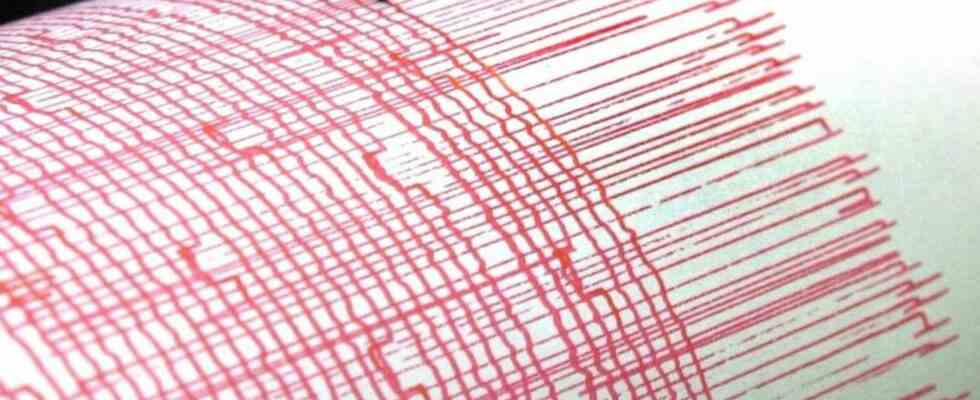
A monitor recorder records the vibrations of an earthquake (symbol image). photo
© Bernd Thissen/dpa
The US earthquake monitor USGS located the quake around 23 kilometers northwest of Port Orly. Can there be tsunami waves in nearby waters?
A 7.0 magnitude earthquake struck the South Pacific east of Australia on Sunday. The US earthquake monitor USGS located the quake around 23 kilometers northwest of Port Orly in the island state of Vanuatu at a depth of 27.7 kilometers. The seismic authority had previously spoken of a magnitude of 7.2. There was initially no information about possible damage.
The US agency NOAA said there was a potential threat from tsunami waves (“Tsunami Threat”) in nearby waters. On the coasts of Vanuatu, these could reach a height of up to one meter. Small waves could hit New Caledonia and Solomon Islands.
The state of Vanuatu with its more than 80 islands lies on the so-called Pacific Ring of Fire, the most geologically active zone on earth.

